Built around the task you need to solve.
From refineries and power plants to commercial ships and defence: explore how a shared air picture, clear responsibilities and traceable decisions can support the people responsible for each operation.
The demo is a guided walkthrough of HAMMER Panorama on simulated data.
Find your operating environment.
A shared picture around complex operations.
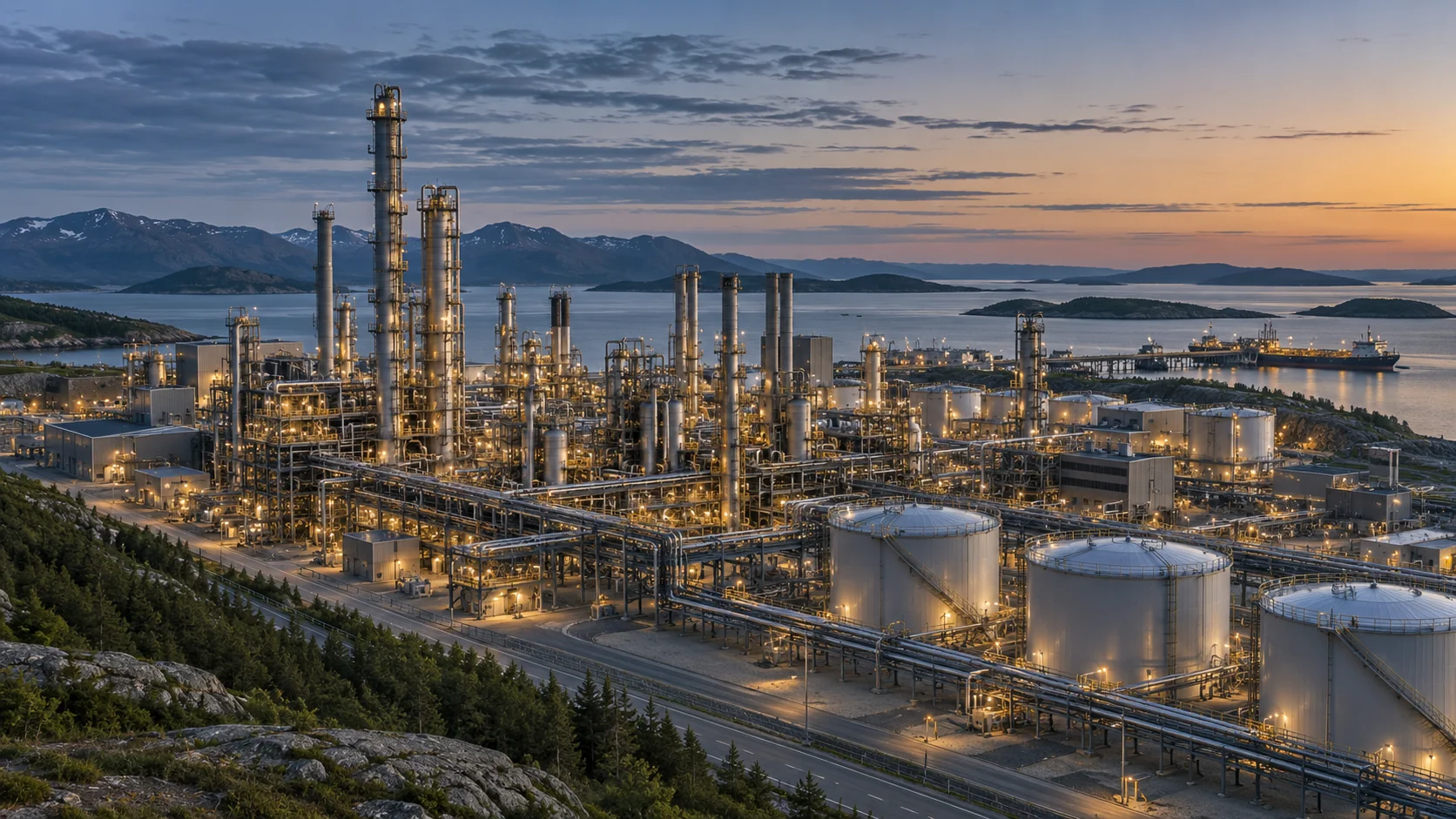
Process areas · tank farms · control rooms
The task
A refinery brings together process areas, storage facilities and several teams with different responsibilities. Drone observations need to be assessed in the context of ongoing operations.
The operator workflow
The scenario centres on a shared view of observations, their sources and the operator’s assessment. Security staff and site management can use the same decision record when coordinating an incident.
A clearer basis for assessing an incident while keeping people, production and continuity of operations in view.
Operational focus
Clear responsibilities, handover between teams and documentation for subsequent review. The site’s established safety and response procedures frame the workflow.
Put airspace observations in an operational context.
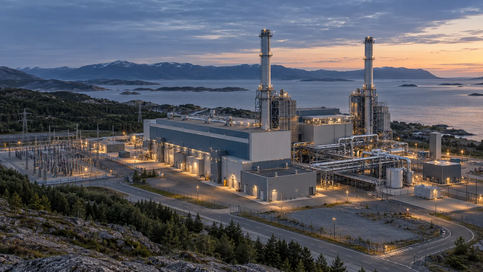
Generation sites · grid connections · control rooms
The task
At a power plant, the control room, site security and response teams need to understand the same incident without losing sight of their own responsibilities.
The operator workflow
The scenario combines observations and operator assessments in one view, with a record of what was known and what was decided. The aim is to support coordination between technical operations and security.
A common basis for decisions that supports staff coordination and attention to continuity of supply.
Operational focus
Relevant information for the control room, clear handovers and consistent documentation. Equipment and interfaces are considered in relation to the plant’s operating requirements.
A shared basis for decisions on board.
Crew · bridge · shoreside organisation

The task
On a commercial vessel, the crew must assess unusual observations alongside navigation, cargo operations and communication with shore. Responsibilities and information need to be clear.
The operator workflow
The scenario centres on a common view of observations and operator assessments for the bridge, with a traceable decision record for coordination with the shipping company and relevant authorities.
Clearer communication between ship and shore, with documented assessments that support the crew’s decisions.
Operational focus
Crew responsibilities, handovers and compatibility with the vessel’s existing procedures. The master and relevant authorities retain responsibility for operational decisions.
Keep the response coordinated.
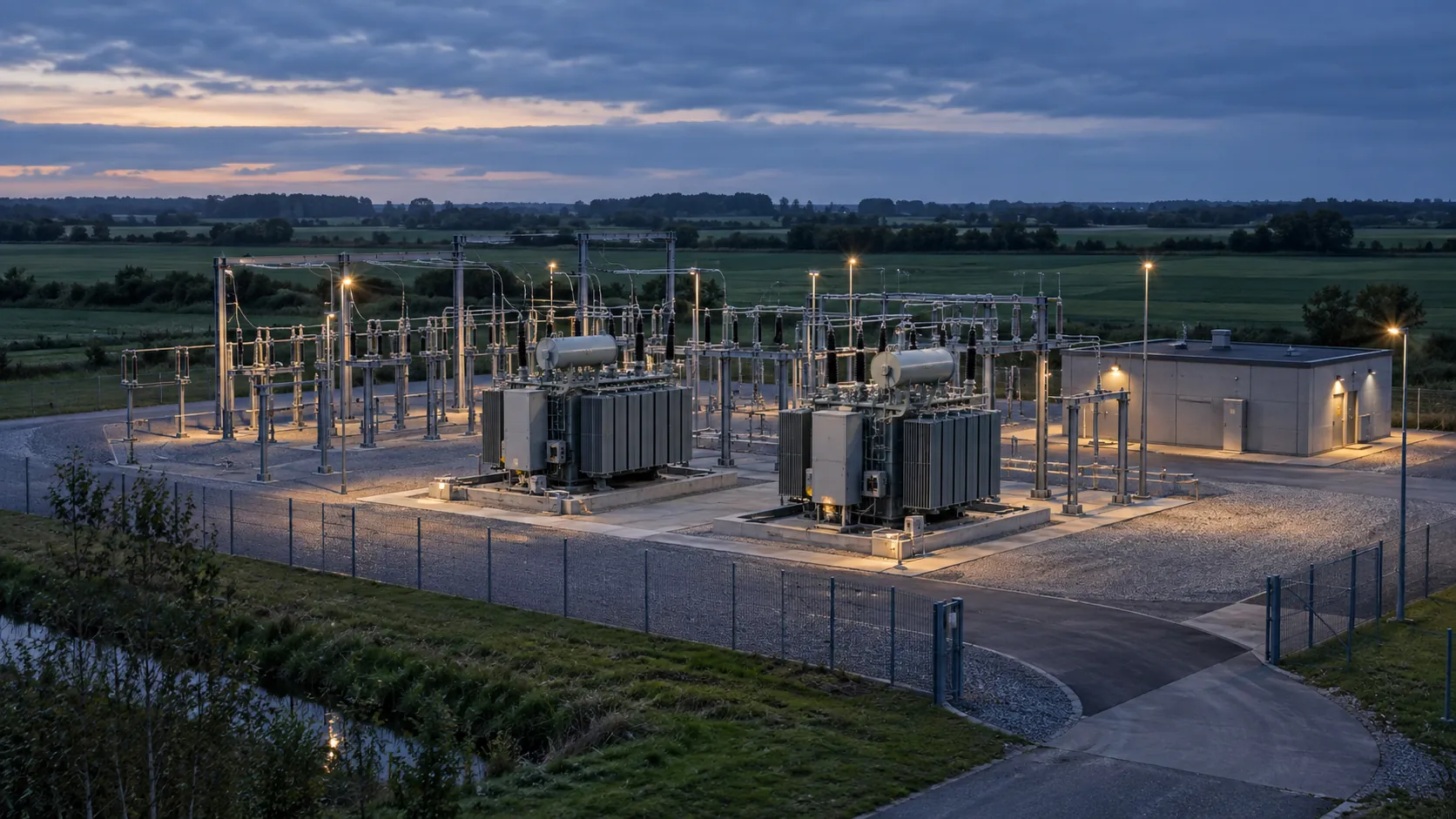
Substations · ports · airports
The task
An observation near a critical site must be assessed and shared across operations, security and the relevant authorities.
The operator workflow
The scenario is designed to bring sensor observations and camera evidence into one operator workflow: assess the picture, document a decision and coordinate with the site’s response organisation.
A common basis for coordination, with a record of what was known and what was decided.
Operational focus
A shared picture for security staff and site management, with clear handovers and a record of observations and decisions. Any intervention follows the responsible authority’s procedures.
Let the picture follow the task.
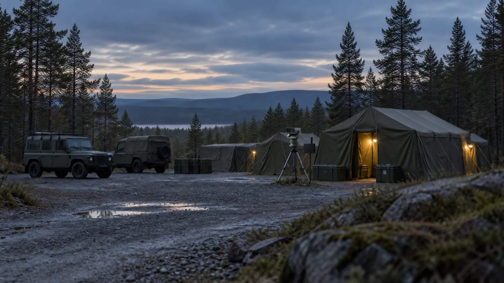
Field units · camps · convoys
The task
The area to protect changes when a unit relocates. Sensor placement, communications and the operator’s working conditions change with it.
The operator workflow
We are designing the same decision layer for fixed and mobile use, with partner sensors on vehicles or tripods and a console for the responsible operator.
A familiar workflow as the deployment changes, with human control and a traceable decision record.
Operational focus
Consistent assessment and handover as a unit’s location and responsibilities change, with the operator’s workload and access to information at the centre.
Put the air picture in front of the duty officer.
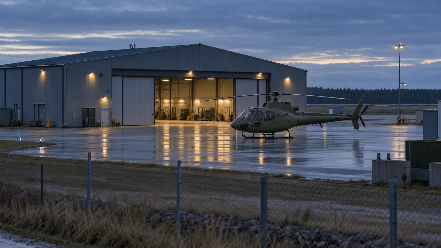
Air bases · helicopters on the ground · landing zones
The task
Personnel responsible for a base or landing zone need to assess nearby drone observations in the context of their own activity.
The operator workflow
The use case centres on one view for the duty officer, bringing relevant observations around the perimeter, helicopters on the ground and landing zones into context.
A shared basis for assessment and coordination with the units responsible for the site.
Operational focus
Coordination between the duty officer and the teams responsible for the site, with a clear record of observations and decisions. Flight clearances remain with the responsible aviation authority.
Build on the systems already on board.
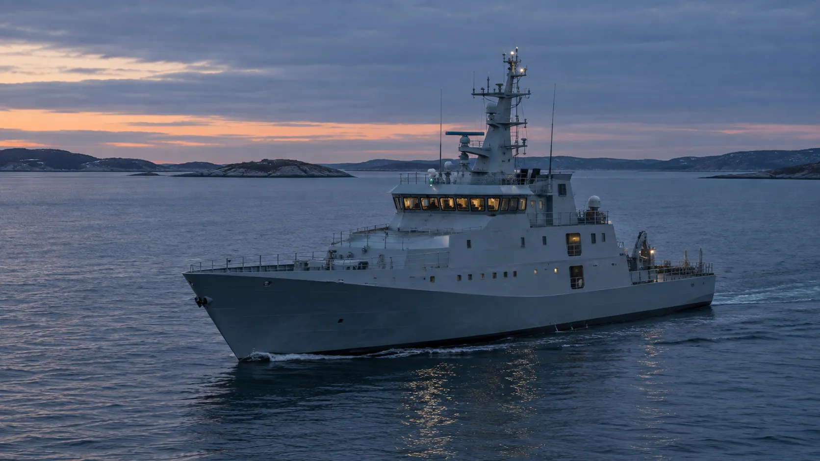
Ships · onboard sensors · existing command systems
The task
A ship has its own sensors, command systems and procedures. A new counter-drone layer must fit into that environment.
The operator workflow
The maritime use case centres on a shared view of drone observations, designed around the ship’s sensors, command systems and the responsibilities of the crew.
A consistent decision workflow across land and sea, designed around the equipment the operator already uses.
Operational focus
A clear basis for the crew’s assessment, coordination with the ship’s command structure and a traceable record of each decision. Interfaces and procedures are specific to each vessel.
How the system could be set up.
Five illustrative examples of a technical layout — not a design for a specific site. Blue markers show the roles in the VAERN architecture; grey markers show existing or partner equipment. Select a marker to explore its role. The diagrams illustrate workflows and equipment relationships.
- HAMMER — command & control
The operator's fused air picture in the control room; every consequential decision is human-authorised.
HAMMER → - VIGIL — 360° radar
Primary 360° surveillance radar of the VIGIL sensor layer.
VIGIL → - VIGIL — directional radar
Directional radar covering the approach axis.
VIGIL → - VIGIL — passive RF
Passive RF sensor — detects drone/controller links without emitting.
VIGIL → - VIGIL — EO/IR
EO/IR camera for visual identification, day and night.
VIGIL → - SCOUT — forward nodes
Forward sensor nodes extending coverage beyond the perimeter.
SCOUT → - NEXUS — mesh datalink
The data-link role in this scenario connects sensor observations with the operator’s view in HAMMER.
NEXUS → - CORE — edge AI
The local processing role in the architecture supports the assessment of observations from several sources.
CORE → - Existing ATC radar — third party
Existing airport radar can be considered as a data source, depending on available interfaces and the airport’s requirements.
- Partner effector
E.g. a jammer — operated only by authorised forces or authorities and supplied by authorised partners under their own authorisations. VAERN does not manufacture effectors. Every engagement is released by a human at HAMMER.
Effector integration → - Unknown drone
The layout is designed to detect, track and classify it before it reaches the perimeter.
- Authorised drone
Shown as known, authorised traffic in this illustrative scenario, providing context for the operator’s assessment.
- HAMMER — command & control
The fused air picture in the site's operations room; every consequential decision is human-authorised.
HAMMER → - VIGIL — 360° radar
Primary 360° surveillance radar covering quay, tanks and substation.
VIGIL → - VIGIL — directional radar
Directional radar watching the seaward approach.
VIGIL → - VIGIL — passive RF
Passive RF sensor — detects drone/controller links without emitting.
VIGIL → - VIGIL — EO/IR
EO/IR camera on the tank farm for visual identification.
VIGIL → - SCOUT — forward nodes
Forward nodes extending coverage along the perimeter and quay.
SCOUT → - NEXUS — mesh datalink
The data-link role in this scenario connects sensor observations with the operator’s view in HAMMER.
NEXUS → - CORE — edge AI
The local processing role in the architecture supports the assessment of observations from several sources.
CORE → - Existing CCTV/port radar — third party
Existing site sensors can be considered as data sources, depending on interfaces and operating requirements.
- Partner effector
E.g. a jammer — operated only by authorised forces or authorities and supplied by authorised partners under their own authorisations. VAERN does not manufacture effectors. Every engagement is released by a human at HAMMER.
Effector integration → - Unknown drone from the sea
The layout is designed to detect and track it before it reaches the assets.
- HAMMER — in the TOC
The fused air picture in the operations centre; every consequential decision is human-authorised.
HAMMER → - VIGIL — 360° radar
Primary 360° surveillance radar reaching beyond the berm.
VIGIL → - VIGIL — directional radar
Directional radar aimed along the expected threat axis.
VIGIL → - VIGIL — passive RF
Passive RF sensor — detects drone/controller links without emitting.
VIGIL → - VIGIL — EO/IR
EO/IR camera on the watchtower for visual identification.
VIGIL → - SCOUT — forward nodes
Nodes outside the perimeter are designed to give warning before the threat reaches the berm.
SCOUT → - NEXUS — mesh datalink
The data-link role in this scenario connects sensor observations with the operator’s view in HAMMER.
NEXUS → - CORE — edge AI
The architecture assigns local assessment and classification of sensor observations to CORE.
CORE → - Partner effector — net, kinetic or RF
Supplied by an authorised partner under national regulation and the partner's own authorisations; VAERN does not manufacture it. The type — capture net, kinetic interceptor or RF jammer — is chosen to fit the site and the rules that apply there. Every engagement is released by a human at HAMMER.
Effector integration → - Hostile FPV/recon drone
The forward nodes are designed to detect it before it reaches the base.
- HAMMER — command vehicle
Designed so the air picture moves with the force; decisions are still human-authorised.
HAMMER → - VIGIL — vehicle mast radar
360° radar raised on the sensor vehicle — coverage follows the column.
VIGIL → - VIGIL — passive RF
Passive RF on the command vehicle — listening without emitting.
VIGIL → - VIGIL — EO/IR
EO/IR on the lead vehicle for visual identification.
VIGIL → - SCOUT — node on high ground
A node dropped on high ground along the route extends coverage ahead.
SCOUT → - NEXUS — mesh between vehicles
The data-link role connects observations from vehicles and forward nodes in the illustrated workflow.
NEXUS → - CORE — edge AI
The vehicle scenario assigns local assessment and classification of observations to CORE.
CORE → - Partner effector on escort
E.g. a jammer — operated only by authorised forces or authorities and supplied by authorised partners under their own authorisations. VAERN does not manufacture effectors. Every engagement is released by a human at HAMMER.
Effector integration → - Shadowing drone
A drone following the column — the layout is designed to detect and track it while the force is moving.
- HAMMER — command & control
The fused air picture in the hospital's control room; every consequential decision is human-authorised.
HAMMER → - VIGIL — 360° radar
Primary 360° radar covering the hospital, the corridor and the forward pad.
VIGIL → - VIGIL — passive RF
Passive RF at the forward pad — detects drone/controller links without emitting.
VIGIL → - VIGIL — EO/IR
EO/IR on the hospital roof — visual identification along the approach.
VIGIL → - SCOUT — forward node
A forward-node role near a temporary landing zone, providing an additional source of observations in the scenario.
SCOUT → - NEXUS — mesh datalink
The data-link role in this scenario connects sensor observations with the operator’s view in HAMMER.
NEXUS → - CORE — edge AI
The local processing role in the architecture supports the assessment of observations from several sources.
CORE → - Existing CCTV — third party
Potential camera integration, subject to access, interfaces and the site’s requirements.
- Partner effector
E.g. a capture net — operated only by authorised forces or authorities and supplied by authorised partners under their own authorisations. VAERN does not manufacture effectors. Every engagement is released by a human at HAMMER.
Effector integration → - Unknown drone near the corridor
The layout is designed to detect and track it before the helicopter enters the corridor.
- Air ambulance — authorised
An air ambulance shown as known traffic in the scenario. HAMMER does not issue flight clearances.
The scenarios illustrate the system architecture. Equipment selection, interfaces and operating procedures depend on the site, the available partner hardware and the responsible organisation.
Let’s discuss your operating environment.
Tell us what you need to assess, which equipment is available and who will use the result. The demo is a guided walkthrough of HAMMER Panorama on simulated data, with synthetic scenarios matched to your use case — from the first observation to the operator's decision and the decision record.